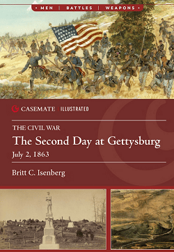
by Britt C. Isenberg. Softcover (6.8×9.3 inches). 128 pages. 2026.
Subtitle: The Civil War
Subtitle: July 2, 1863
This follow-up volume continues the overview of the ACW Battle of Gettysburg with the second day, consisting mostly of the battles for the Wheatfield, Little Round Top, and Culp’s Hill. The descriptions highlight key moments, reinforced by excerpts from eyewitness accounts praising each side’s valor and the density of enemy fire.
As per the illustrated part, the book contains 55 black and white photos, 51 color photos, four black and white illustrations, three color illustrations, one black and white map, and nine color maps.
As for the color maps, the color Wheatfield battle maps are overhead views like a Google satellite image with units superimposed upon it. The movements are noted with a series of three or four beginning and ending positions, which helps explain where those charges began and ended. The contour lines might be a bit more prominent, but I appreciate the effort. I find the basic battle maps elsewhere to be well done with recognizable terrain, albeit I don’t know what the elevation between contour lines represents. I know…picky, but I use maps for both information and to set up a scenario on a tabletop.
Don’t get me wrong, a satellite image map adds the requisite color to a plain black and white map and is superior to 3D maps, but so far, a plain military-style map with clear contour lines and a proper map key and scale are so far superior to these other maps. Then again, I’ve been studying book maps and wargame maps for decades, so I am comfortable making the translations from page to tabletop.
Anyway, another nice extension of the Casemate Illustrated series.
Enjoyed it.
— Reviewed by Russ Lockwood