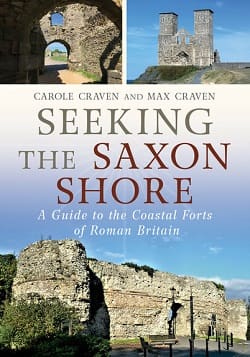
by Max and Carole Craven
Hardback (7.0×9.8 inches). 191 pages. 2025.
Subtitle: A Guide to the Coastal Forts of Roman Britain
This travelogue was inspired by a near-visit to a Saxon coastal fort. I say “near” because the husband and wife said they should see them all one day. In 2017, they did, and began their trip to visit the dozen forts left standing and a couple suspected of being Saxon forts.
Saxon forts defended the Romans from the invading Saxons. Most seemed to be built in the mid to late 200s AD, but changing shorelines over that last couple millennia site the remains inland in or in the sea.
Portchester on the south coast is in the best shape — a rectangle of walls enclosing 8.5 acres of land. The walls were originally 20 feet high with a base of 12 feet six inches thick (p31). A medieval tower and church are also within. Descriptions of this and all the other forts include history, construction, later history, and driving direction to the fort without using the M-class Motorways (Interstates in the US vernacular).
Some of the forts barely still exist — a couple piles of rock showcase what was once walls. Some don’t really exist at all. The Dover fort is long gone, but the duo used a Sunday church service to get onto the grounds of Dover Castle to see the spot for free instead of paying the outrageous 20-pound per person cost. I visited Dover Castle back in the 1980s and don’t recall paying more than a token entry fee.
Richborough Castle is a ruin we also visited in the same trip. I don’t recall an entry fee at all. Then again, it was nothing but a field and rough rectangular ruin with a nuclear power plant nearby. FYI: Nearby is a beach near Deal where Julius Caesar landed and the town of Rye is also nearby. We liked Rye so much, we stayed an extra day.
So the trip goes northward up the eastern shore with observations about favored pubs, tricky road connections, and nice towns.
The book contains 85 color photos, one color illustration, 11 color maps, nine black and white photos, 13 black and white illustrations, and 15 black and white maps. What it does not have is an overview map of the dozen fort locations. I knew some locations due to a driving trip back in the 1980s, but other spots are just names.
Still, a fortification history, local color, and a delightful journey make this an entertaining read. Rest assured, if I ever get back to the UK and look for a Saxon fort, I shall be on the lookout for the B2067.
Enjoyed it.
— Reviewed by Russ Lockwood